 Official Government Website
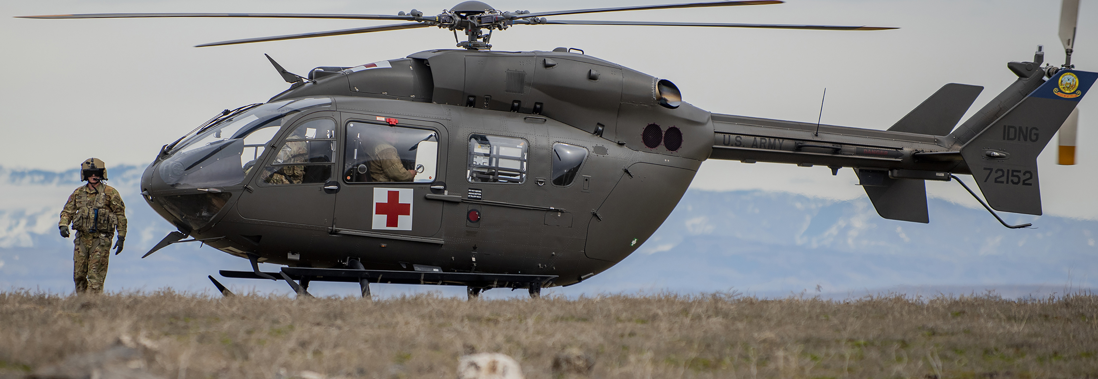
Geo-spatial data viewer providing map-based query and display of installation range and training facilities: https://gismo.ngb.army.mil/
Range 01 and 36 are Multi-Purpose Range Complex-Heavy (MPRC-H) used for up to Gunnery Table XII
Range 02 is a Live Fire Accuracy Screening Test (LFAST) range
Range 03 is an Aerial Harmonization Range, Forward Area Arming and Refueling Point (FAARP), and used for Unmanned Arial Systems Operations
Range 04 is a Light Demolitions Range
Range 05 and 06 are Multi-Purpose Training Ranges (MPTR) used for up to Gunnery Table VI
Range 10 is a Digital Air Ground Integrated Range (DAGIR) used for up to Gunnery Table XII
 Range 11A is an Urban Assault Course
Range 11B is a Live-Fire Breach Facility for Demolitions
Range 13 is a Combat Pistol Qualification Course (CPQC)
Ranges 14N and 14S are both Automated Record Fire Ranges (ARF) used for Individual Weapons Qualification. There is also a Known Distance (KD) range capable of firing out to 1,000 meters on Range 14
Range 15 is a Multi-Purpose Machine Gun (MPMG) range used for Crew Served Weapons Qualification (CSWQ)
Range 16 is used for M203 and M320 Grenade Launchers
Range 17 is a Squad Defense Range
Range 18 is a Heavy Sniper Range with both hard and soft targets out to 1,500 meters
Range 20 is a Combat Engineer Qualification Range
 Range 21 is an Aerial Door Gunnery Range
Range 22 is an Infantry Platoon Battle Course
Range 26 is a Multi-Purpose Training Range (MPTR) up to Gunnery Table VI
Range 28 is a Grenade Launcher Live-Fire Range used for firing High Explosive (HE) rounds
Range 29 is a Hand Grenade Live-Fire Qualification Range which includes all of the practice stations and mock-bays
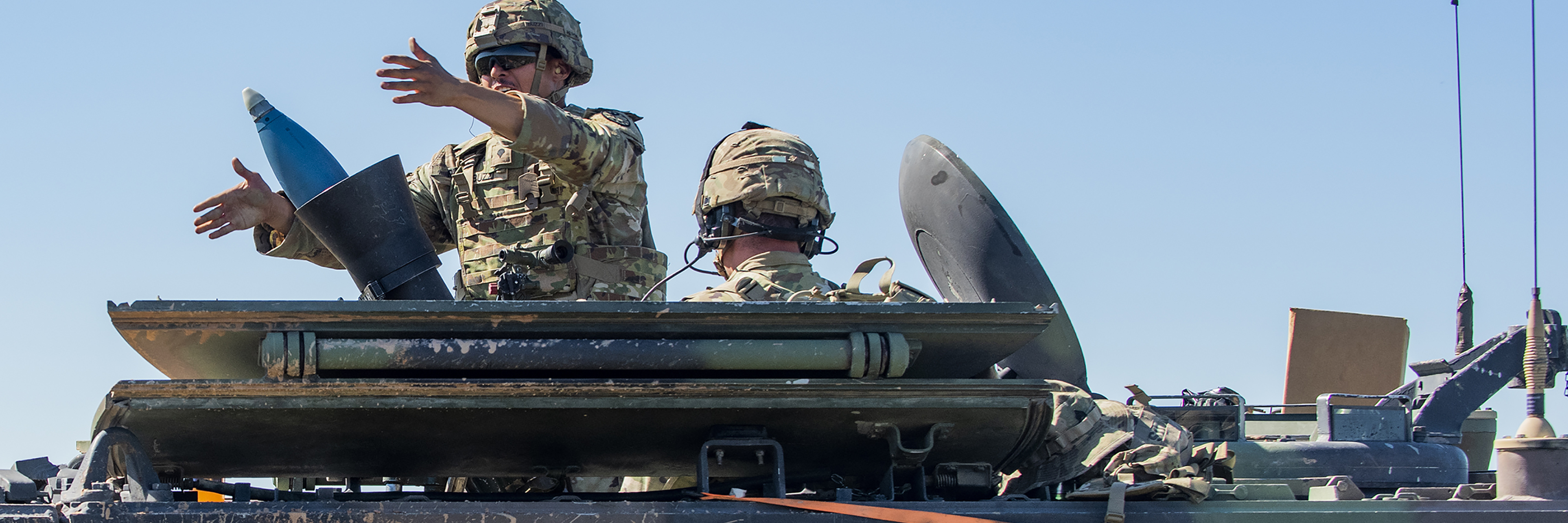
Range 30 is a Mortar, Anti-Armor Missile/Rocket and Field Artillery Direct-Fire Range
Training Areas/Sites
In the A4 Training Area there is a Dig Site and a Land Navigation Course
 In the A5 Training Area there is a Drop Zone
In the B5 Training Area there is a Land Navigation Course
In the C3 Training Area there is a Land Navigation Course
In the C4 Training Area there is a Dig Site and two CIED Lanes with villages
In the D2 Training Area there is a CIED Land with village and a Drop Zone
The Impact Area may be used for Live Fire up to Combined Arms Live Fire Exercises (CALFEX)
Multiple Training Areas may be used for Maneuver Training with approval
Field Artillery may fire from many Training Areas provided a Surface Danger Zone (SDZ) can be identified and approved by the Range Officer in Charge (OIC) or Non-Commissioned Officer in Charge (NCOIC)
Other Facilities
 There is a Combined Arms Collective Training Facility (CACTIF) between Ranges 11 and 13
There is a Live Fire Shoot House (LFSH) between Ranges 14S and 15
Hydra Field UAS Compound is adjacent to the B7 Training Area
The Snake River Training Facility is in the B6 Training Area
Return to Orchard Combat Training Center